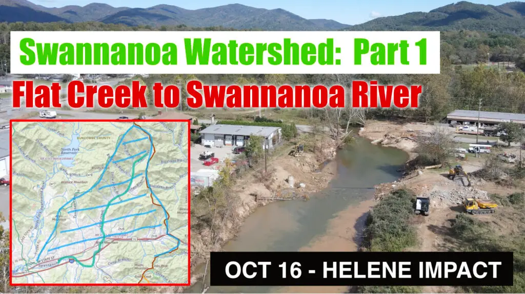
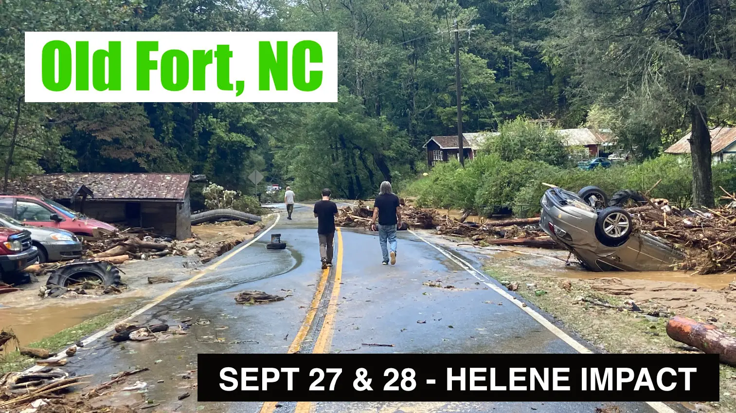
Informational video on Hurricane Helene impact and recovery in and around Montreat, Black Mountain and Swannanoa, NC. This video was taken on October 16, tracing the watershed from the Montreat Wilderness, down Flat Creek and into Swannonoa River as is runs through Black Mountain, North Carolina.
This video include aerial drone and ground footage, along with map references
Points of interest:
Montreat Wilderness, Graybeard Trailhead, Montreat Road, Lake Susan, Flat Creak Road, Hwy 70, Ole’s Guacamoles, Black Mountain Primary School, Whatever Rents, Black Mountain Mini Storage, Bush Farmhouse, The Railyard, Blue Ridge Road, Veterans Park, Ingles Distribution Center and many points in between.
Also see related videos:
![]() Swannanoa NC Update April 2025 – Hurricane Helene Recovery Documentation with drone footage
Swannanoa NC Update April 2025 – Hurricane Helene Recovery Documentation with drone footage
![]() Hurricane Helene Update – Bat Cave, Chimney Rock, Hickory Nut Gorge North Carolina – April 2025
Hurricane Helene Update – Bat Cave, Chimney Rock, Hickory Nut Gorge North Carolina – April 2025
![]() Hurricane Helene Update – NC Arboretum, Asheville North Carolina – March 2025
Hurricane Helene Update – NC Arboretum, Asheville North Carolina – March 2025
![]() Hurricane Helene Update – Asheville East KOA, Swannanoa NC – March 2025
Hurricane Helene Update – Asheville East KOA, Swannanoa NC – March 2025
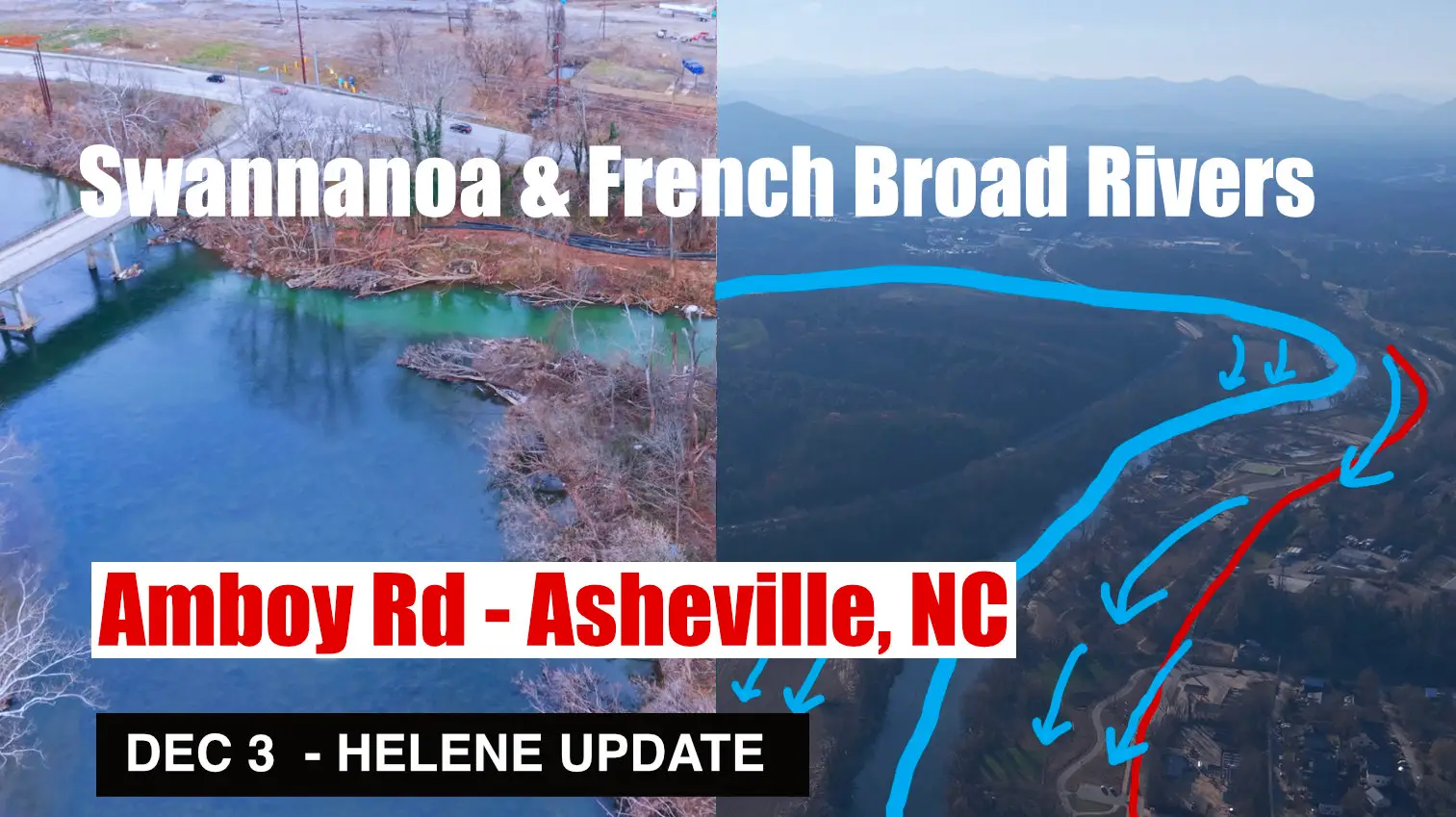
![]() Helene Impact Update Dec 3 – Asheville: Swannanoa & French Broad River converge at Amboy Road
Helene Impact Update Dec 3 – Asheville: Swannanoa & French Broad River converge at Amboy Road
![]() Helene Impact Update Dec 2 & 3 – Biltmore Village, Asheville, North Carolina, Swannanoa River
Helene Impact Update Dec 2 & 3 – Biltmore Village, Asheville, North Carolina, Swannanoa River
![]() Helene Impact Update Nov 21 – North Fork Reservoir Auxiliary Spillway -Black Mountain, NC
Helene Impact Update Nov 21 – North Fork Reservoir Auxiliary Spillway -Black Mountain, NC
![]() Helene Impact Update Nov 2 – East Asheville, Swannanoa River Rd and Azalea Rd
Helene Impact Update Nov 2 – East Asheville, Swannanoa River Rd and Azalea Rd
![]() Helene Impact Update Nov 2 – Asheville, Riceville Rd, Bull Creek, Forest Damage & Swannanoa River
Helene Impact Update Nov 2 – Asheville, Riceville Rd, Bull Creek, Forest Damage & Swannanoa River
![]() Helene Impact Update Oct 29 – Debris Flow at Black Mountain Home & Shepard of the Hills Retreat
Helene Impact Update Oct 29 – Debris Flow at Black Mountain Home & Shepard of the Hills Retreat
![]() Helene Impact Update Oct 25 – Swannanoa Debris Flow, Grovemont Community
Helene Impact Update Oct 25 – Swannanoa Debris Flow, Grovemont Community
![]() Helene Impact Update Oct 16 – Swannanoa Watershed: Part 1 – Montreat & Flat Creek to Black Mountain
Helene Impact Update Oct 16 – Swannanoa Watershed: Part 1 – Montreat & Flat Creek to Black Mountain
![]() Helene Impact Update Oct 18-22 – Swannanoa Watershed: Part 2 – North Fork Swannanoa River, Reservoir
Helene Impact Update Oct 18-22 – Swannanoa Watershed: Part 2 – North Fork Swannanoa River, Reservoir
![]() Swannanoa NC – Hwy 70 – 2024-10-12 – Recovery from Hurricane Helene
Swannanoa NC – Hwy 70 – 2024-10-12 – Recovery from Hurricane Helene
![]() Helene Impact – Oct 20 Broad River & Flat Creak aerial footage – Hwy 9 Black Mountain NC
Helene Impact – Oct 20 Broad River & Flat Creak aerial footage – Hwy 9 Black Mountain NC


