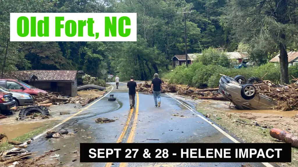
This in an informational video on Hurricane Helene impact in and around Old Fort, NC. These photos and video were taken on September 27 and 28, immediately following the storm, floods and landslides.
This video includes aerial drone and ground footage, as well as map references.
This video shows points of interest in downtown Old Fort on Catawba Avenue, south on Bat Cave Road, and up Old US Hwy 70 towards Mill Creek Road.
Also see related videos:
![]() Swannanoa NC Update April 2025 – Hurricane Helene Recovery Documentation with drone footage
Swannanoa NC Update April 2025 – Hurricane Helene Recovery Documentation with drone footage
![]() Hurricane Helene Update – Bat Cave, Chimney Rock, Hickory Nut Gorge North Carolina – April 2025
Hurricane Helene Update – Bat Cave, Chimney Rock, Hickory Nut Gorge North Carolina – April 2025
![]() Hurricane Helene Update – NC Arboretum, Asheville North Carolina – March 2025
Hurricane Helene Update – NC Arboretum, Asheville North Carolina – March 2025
![]() Hurricane Helene Update – Asheville East KOA, Swannanoa NC – March 2025
Hurricane Helene Update – Asheville East KOA, Swannanoa NC – March 2025
![]() Helene Impact Update Dec 3 – Asheville: Swannanoa & French Broad River converge at Amboy Road
Helene Impact Update Dec 3 – Asheville: Swannanoa & French Broad River converge at Amboy Road
![]() Helene Impact Update Dec 2 & 3 – Biltmore Village, Asheville, North Carolina, Swannanoa River
Helene Impact Update Dec 2 & 3 – Biltmore Village, Asheville, North Carolina, Swannanoa River
![]() Helene Impact Update Nov 21 – North Fork Reservoir Auxiliary Spillway -Black Mountain, NC
Helene Impact Update Nov 21 – North Fork Reservoir Auxiliary Spillway -Black Mountain, NC
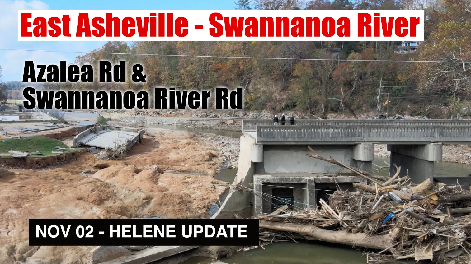
![]() Helene Impact Update Nov 2 – East Asheville, Swannanoa River Rd and Azalea Rd
Helene Impact Update Nov 2 – East Asheville, Swannanoa River Rd and Azalea Rd
![]() Helene Impact Update Nov 2 – Asheville, Riceville Rd, Bull Creek, Forest Damage & Swannanoa River
Helene Impact Update Nov 2 – Asheville, Riceville Rd, Bull Creek, Forest Damage & Swannanoa River
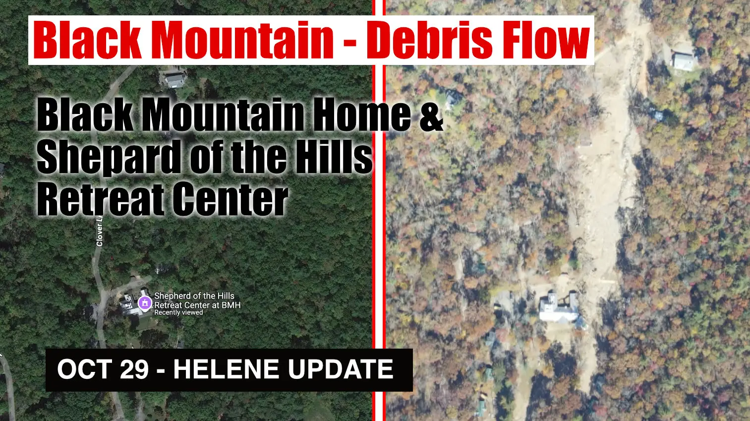
![]() Helene Impact Update Oct 29 – Debris Flow at Black Mountain Home & Shepard of the Hills Retreat
Helene Impact Update Oct 29 – Debris Flow at Black Mountain Home & Shepard of the Hills Retreat
![]() Helene Impact Update Oct 25 – Swannanoa Debris Flow, Grovemont Community
Helene Impact Update Oct 25 – Swannanoa Debris Flow, Grovemont Community
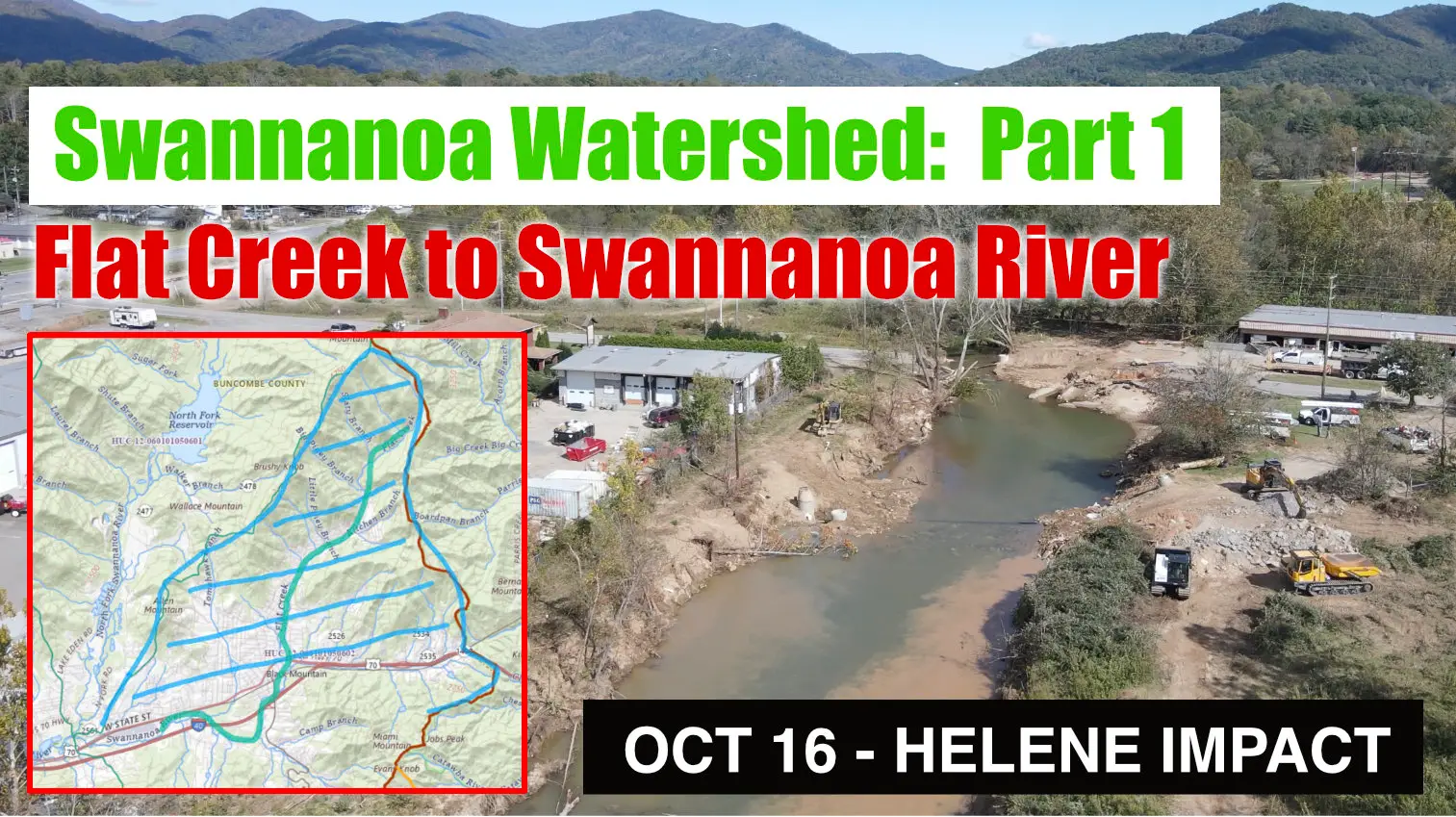
![]() Helene Impact Update Oct 16 – Swannanoa Watershed: Part 1 – Montreat & Flat Creek to Black Mountain
Helene Impact Update Oct 16 – Swannanoa Watershed: Part 1 – Montreat & Flat Creek to Black Mountain
![]() Helene Impact Update Oct 18-22 – Swannanoa Watershed: Part 2 – North Fork Swannanoa River, Reservoir
Helene Impact Update Oct 18-22 – Swannanoa Watershed: Part 2 – North Fork Swannanoa River, Reservoir
![]() Swannanoa NC – Hwy 70 – 2024-10-12 – Recovery from Hurricane Helene
Swannanoa NC – Hwy 70 – 2024-10-12 – Recovery from Hurricane Helene
![]() Helene Impact – Oct 20 Broad River & Flat Creak aerial footage – Hwy 9 Black Mountain NC
Helene Impact – Oct 20 Broad River & Flat Creak aerial footage – Hwy 9 Black Mountain NC


